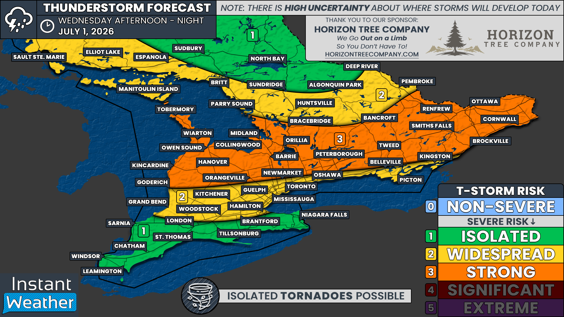
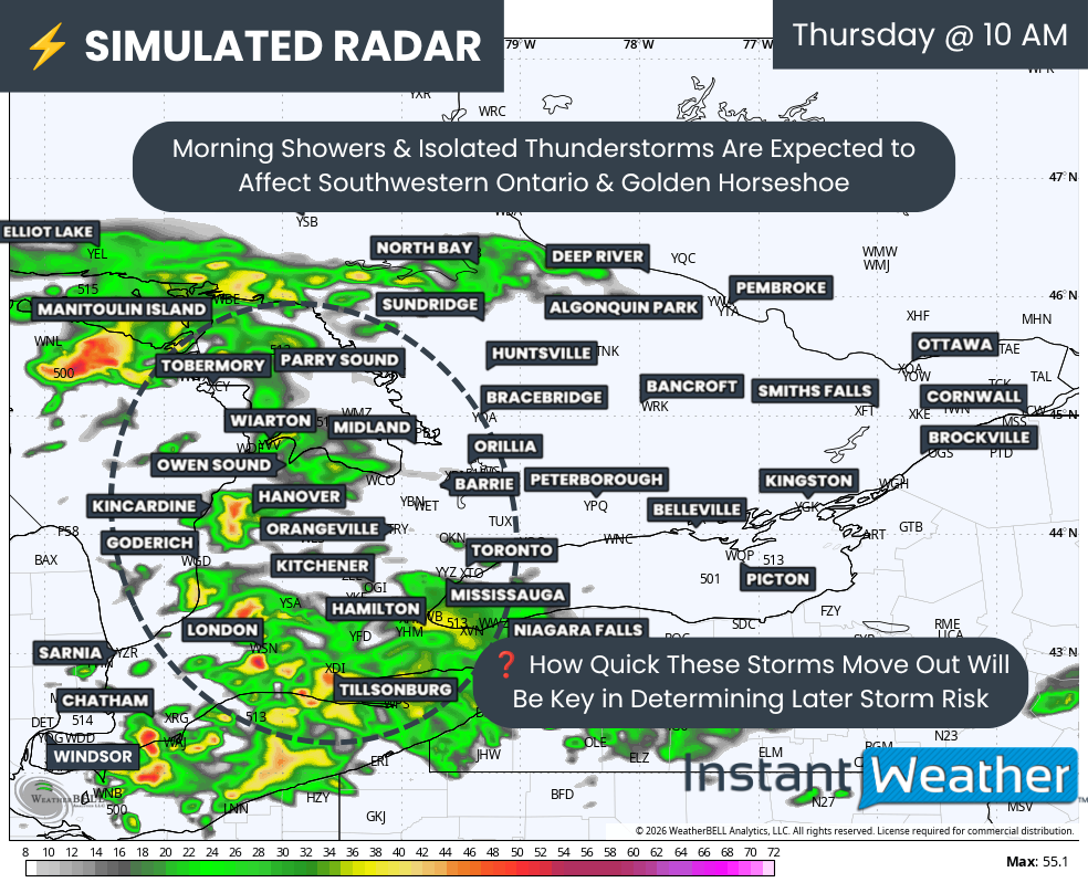
After an active Canada Day that saw storms sweep through Southern Ontario, causing damage and power outages from widespread damaging wind gusts, Thursday may feel like déjà vu for some areas. For parts of the province, this could be the third severe weather risk of the week.
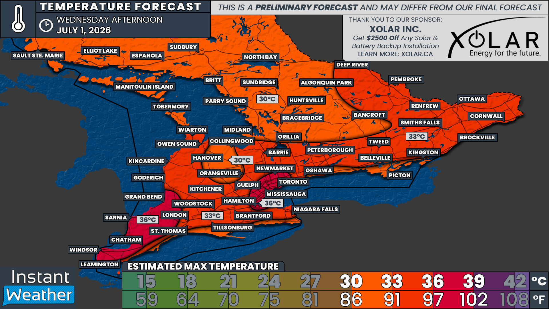
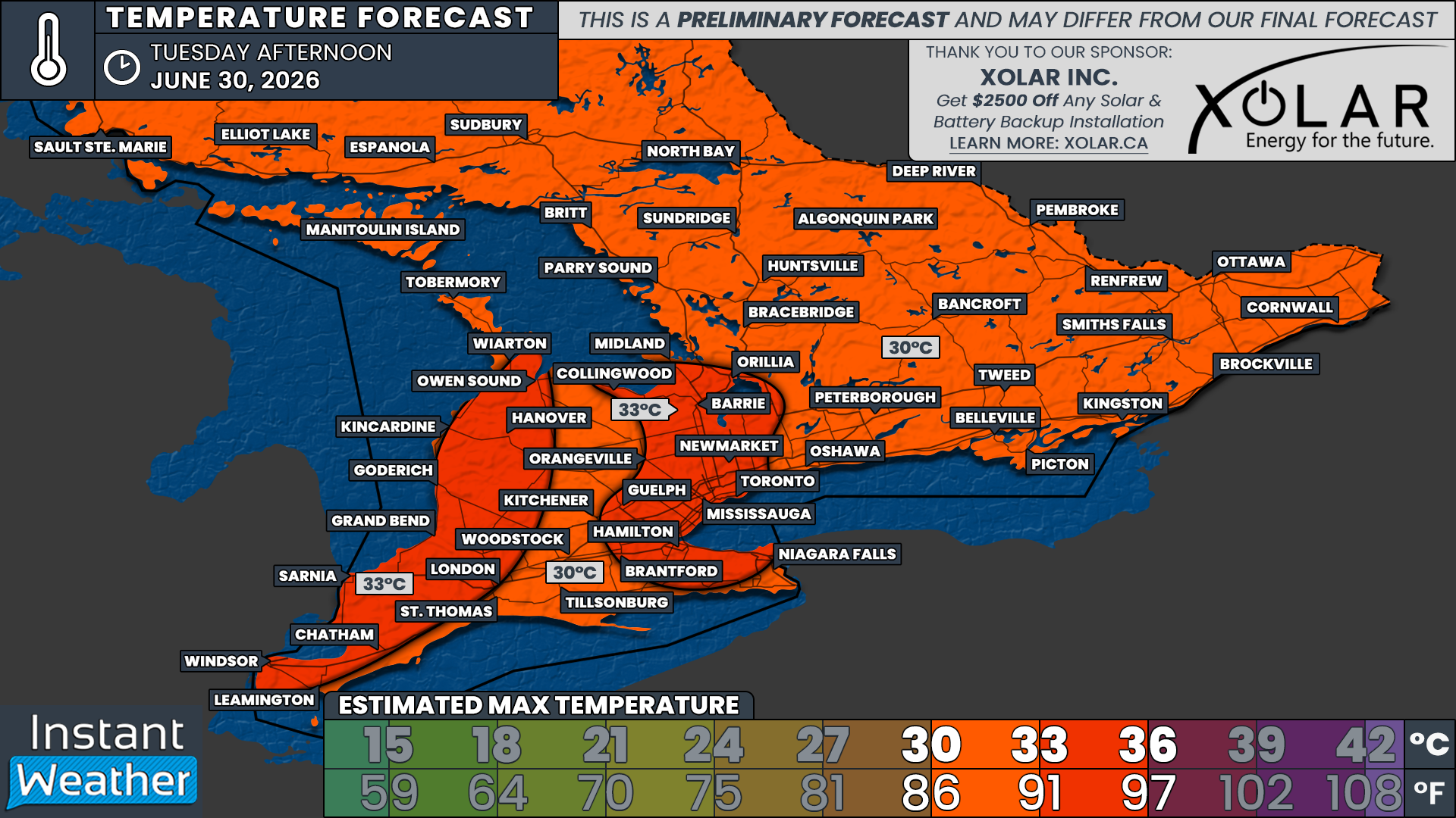
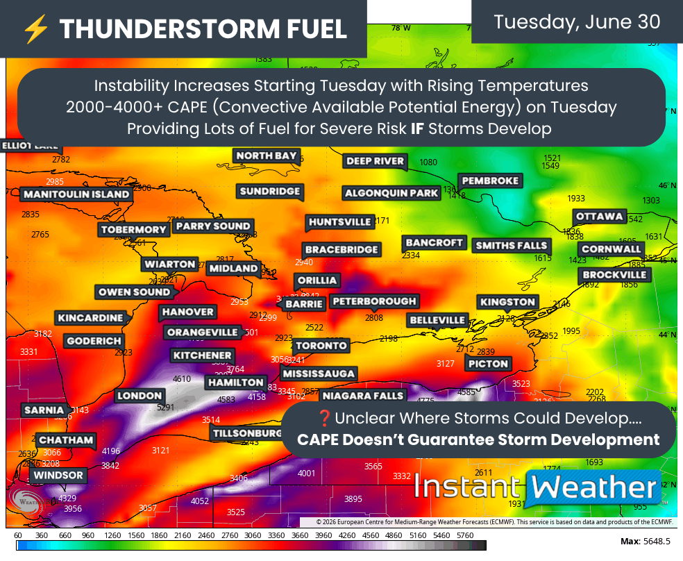
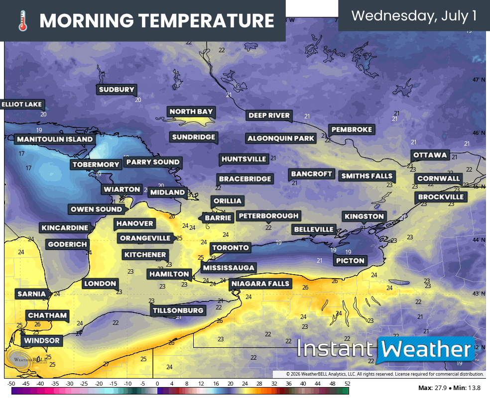
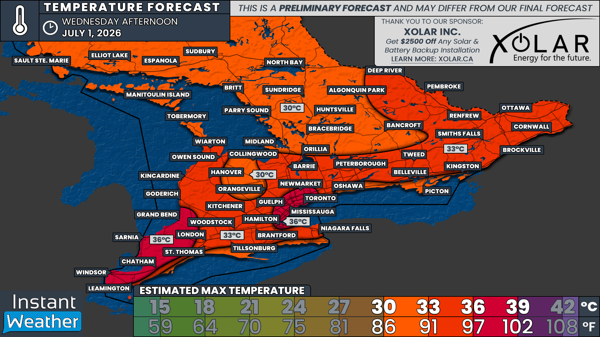
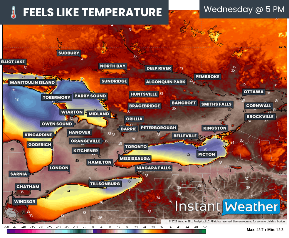
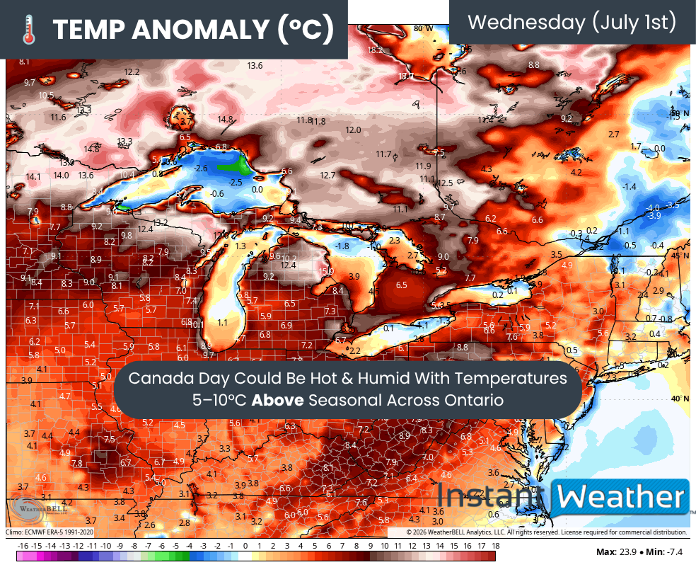
Fueling all of this active weather is the ongoing heat event, which has led to temperatures soaring into the mid to upper 30s across many locations. Thursday is expected to be similarly hot, creating more than enough instability for another round of severe weather.
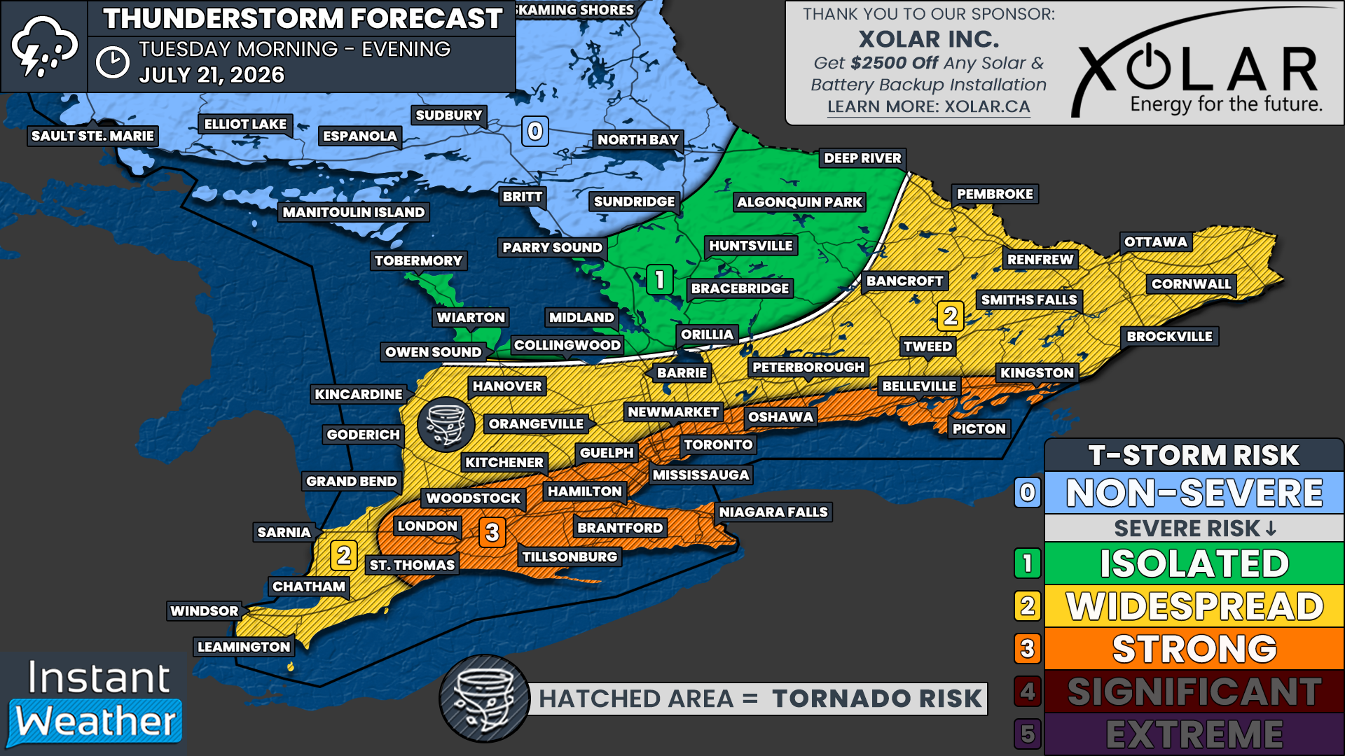
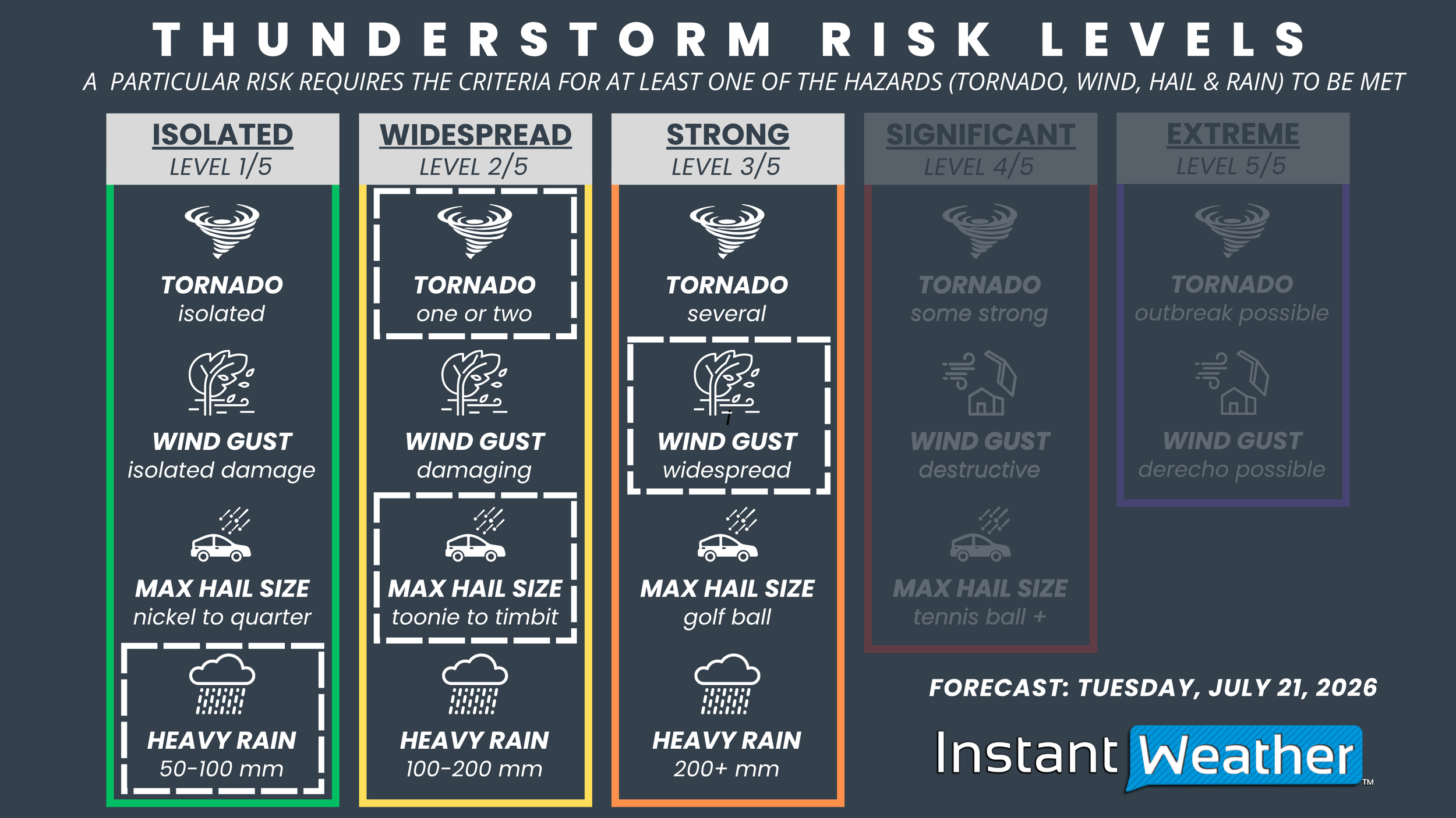
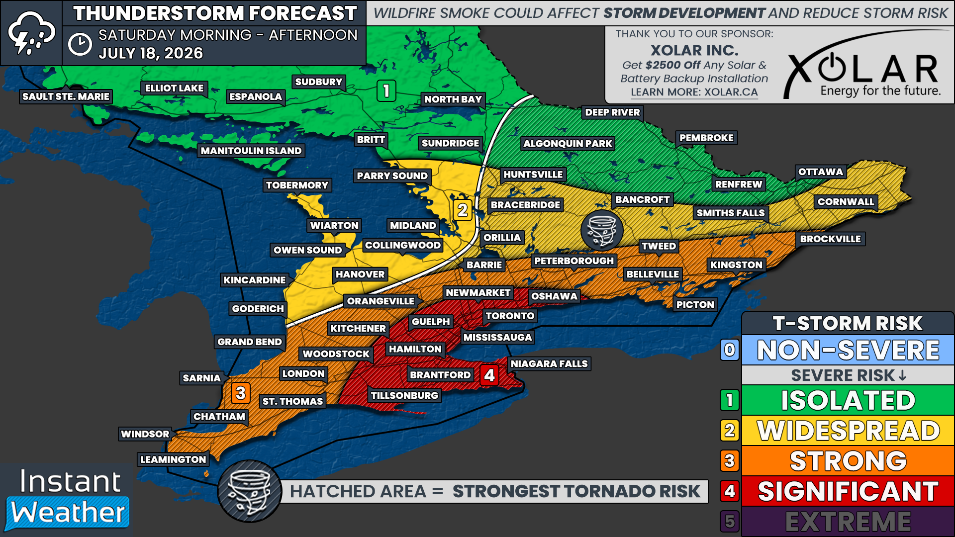
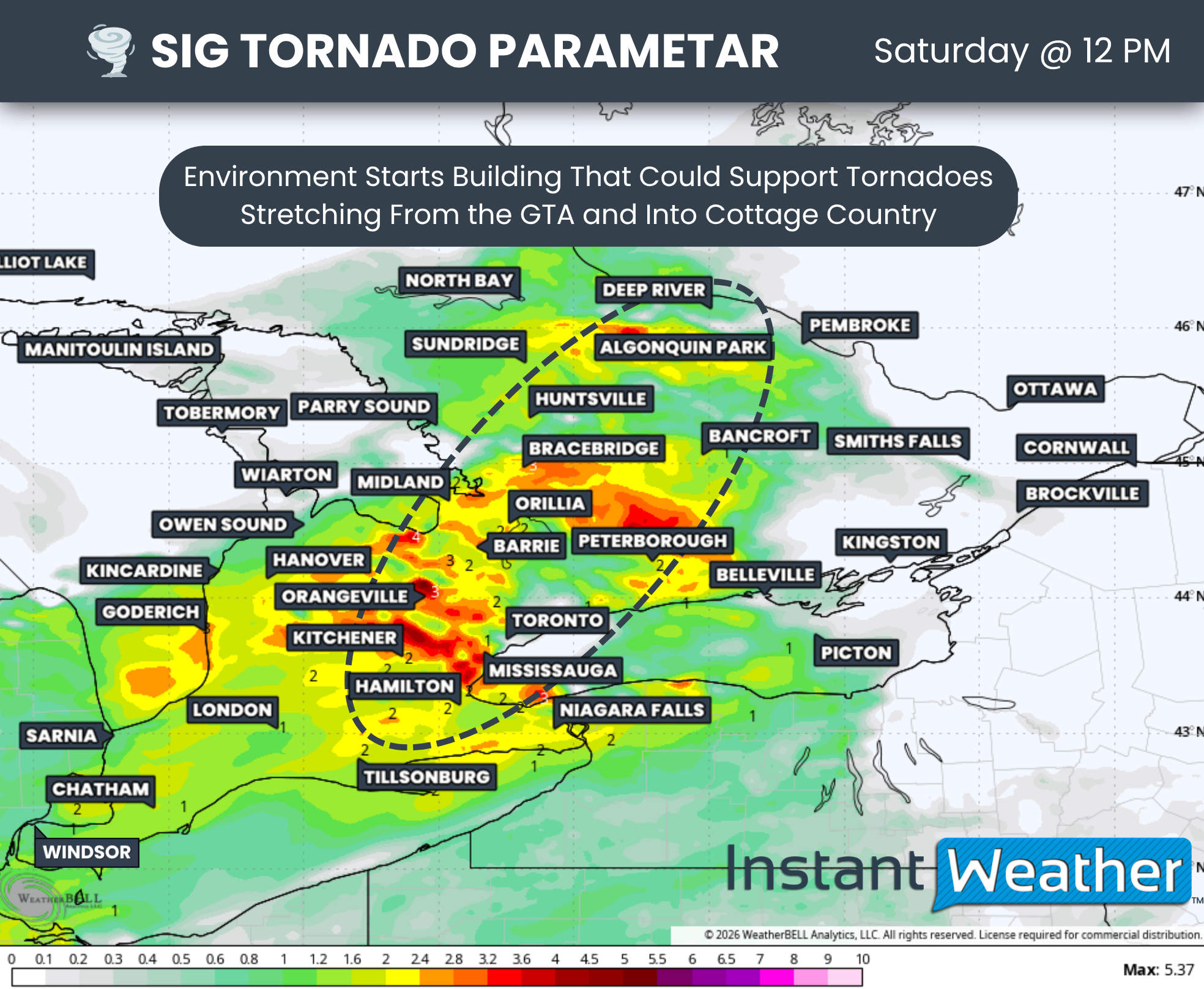
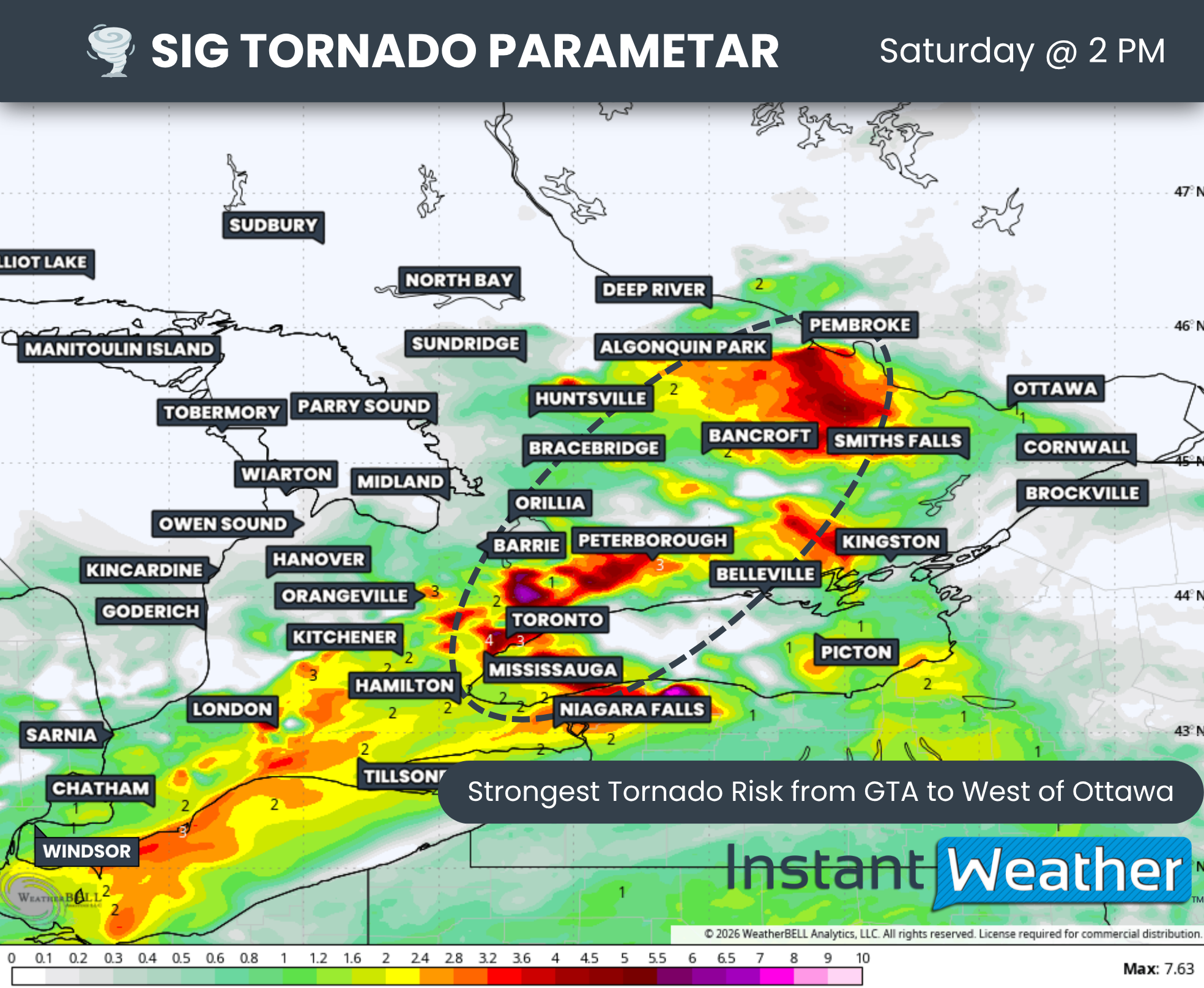
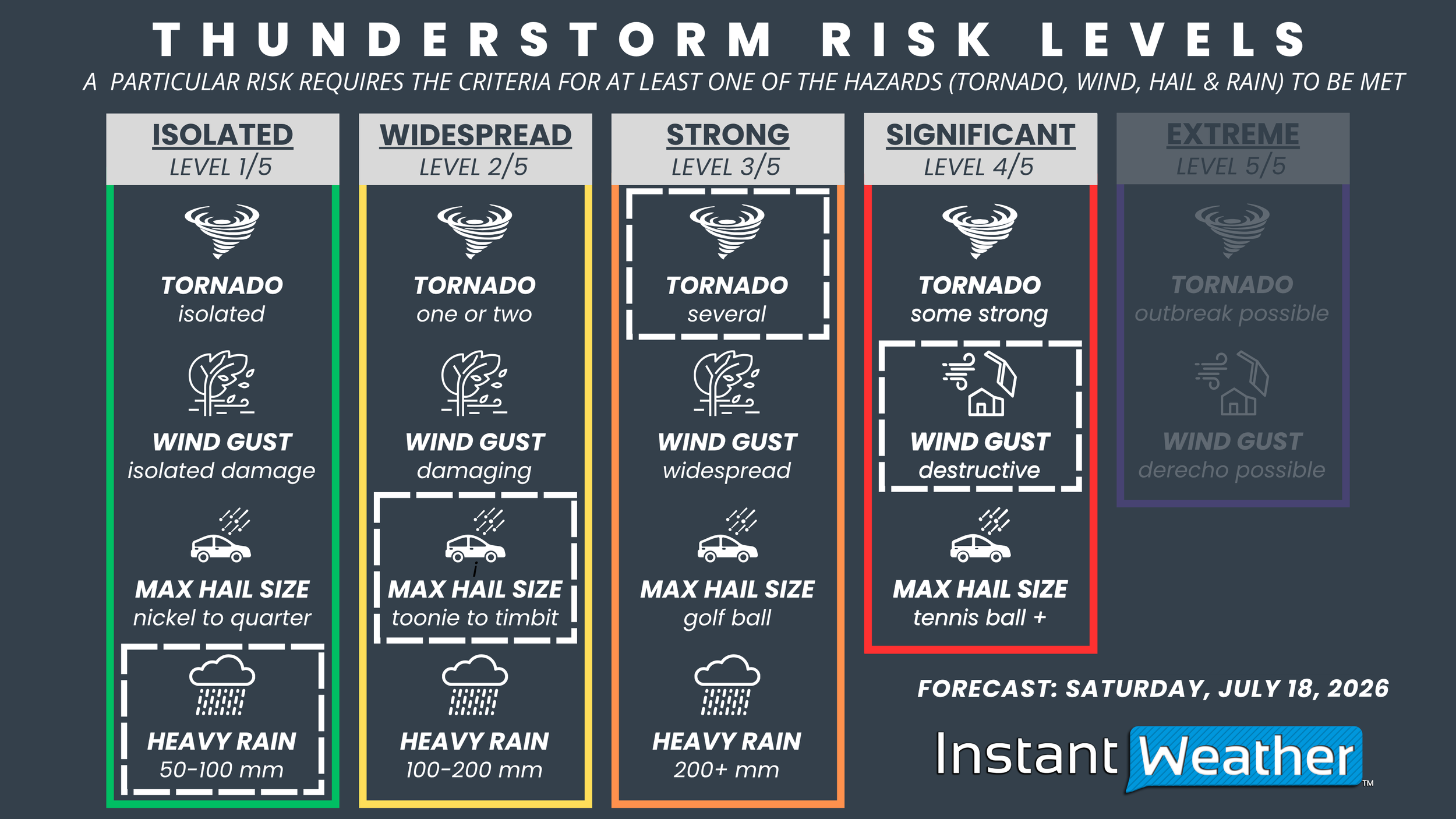
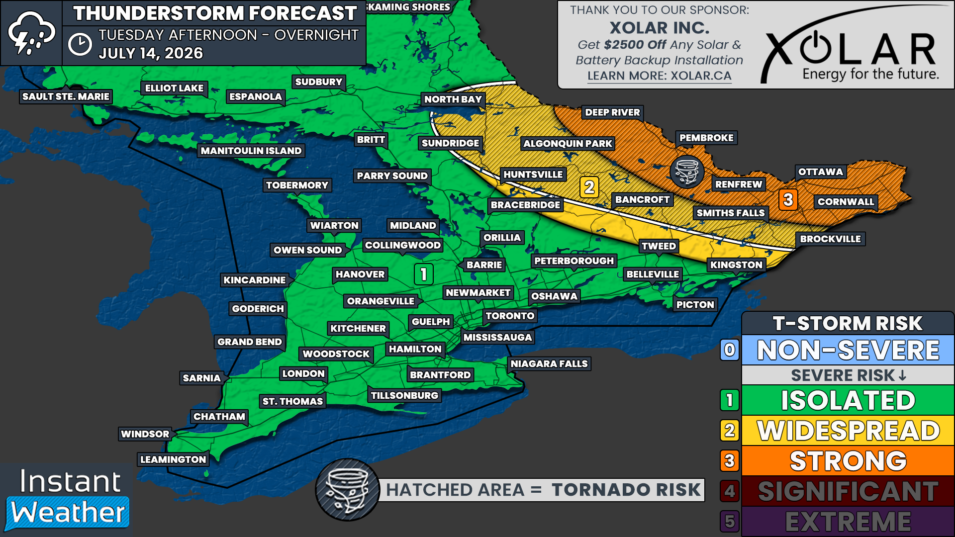
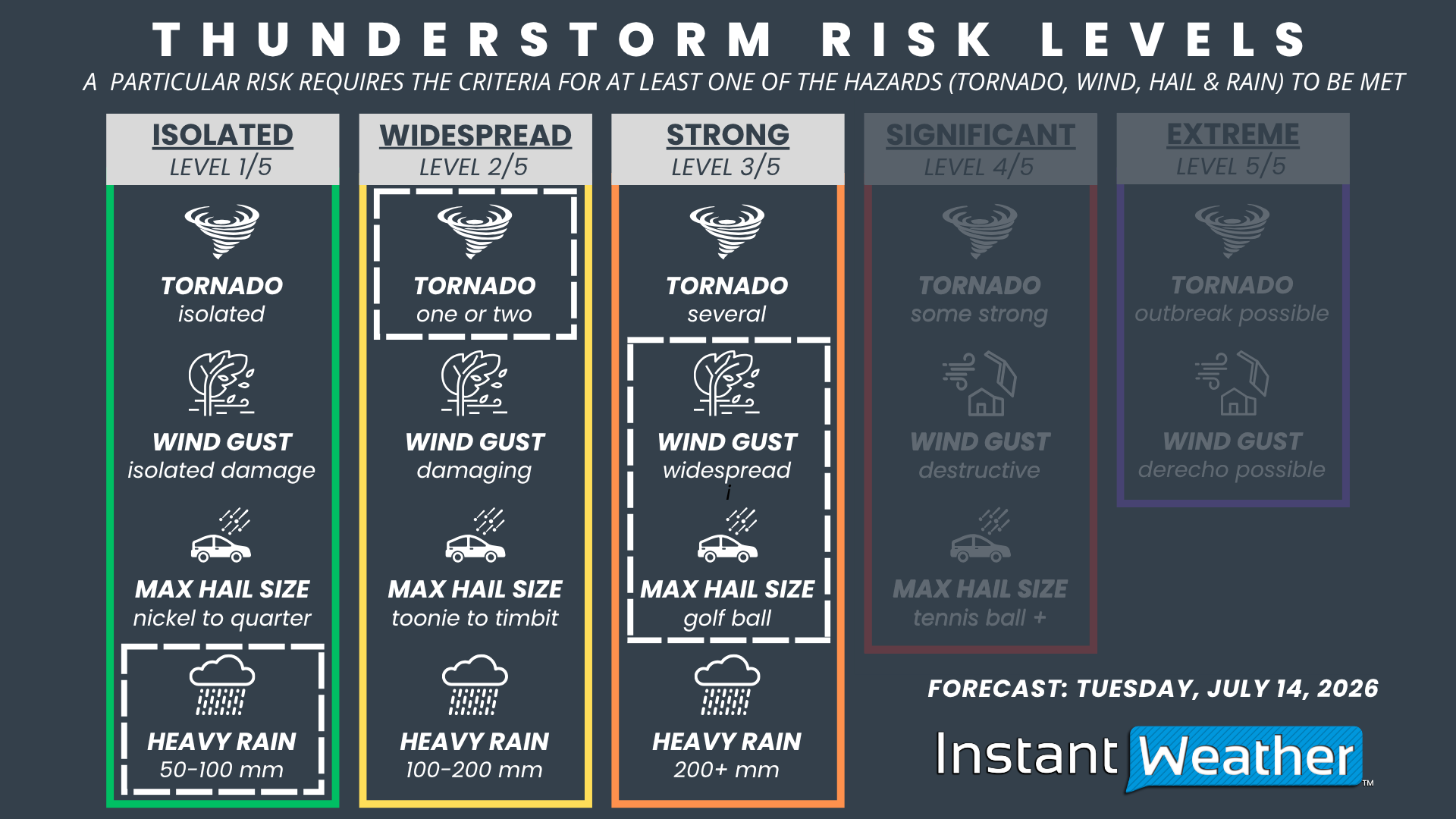
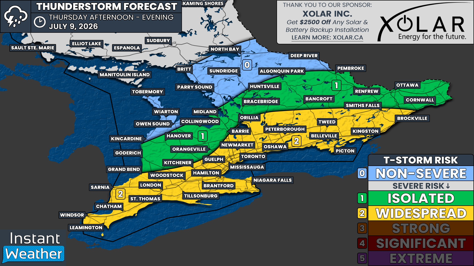
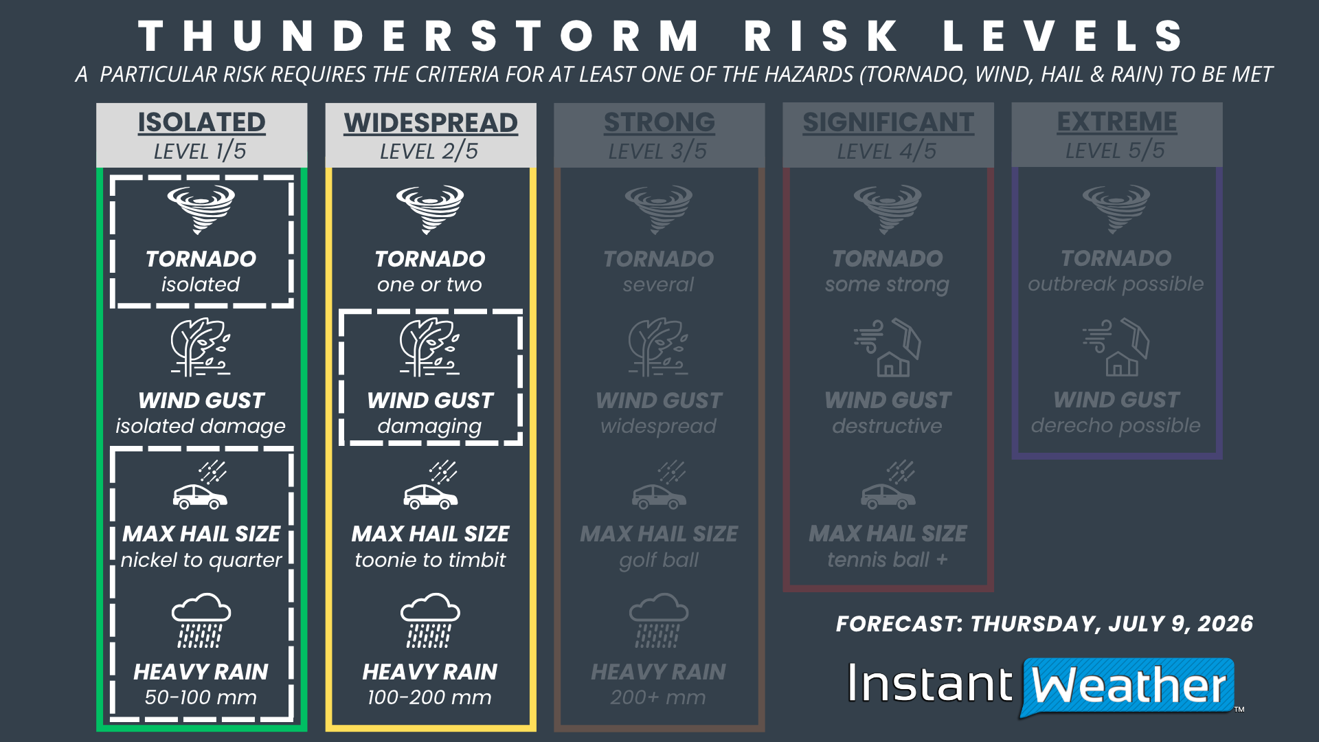
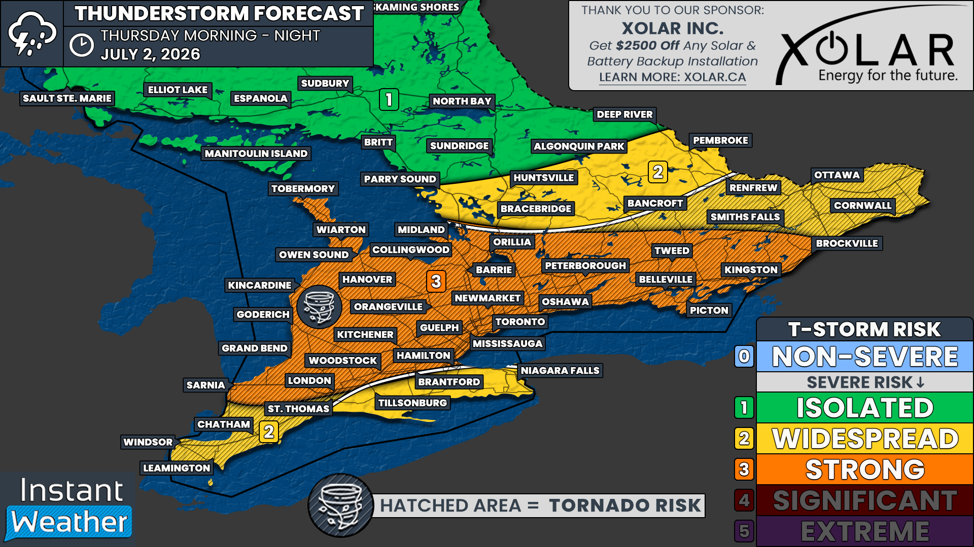
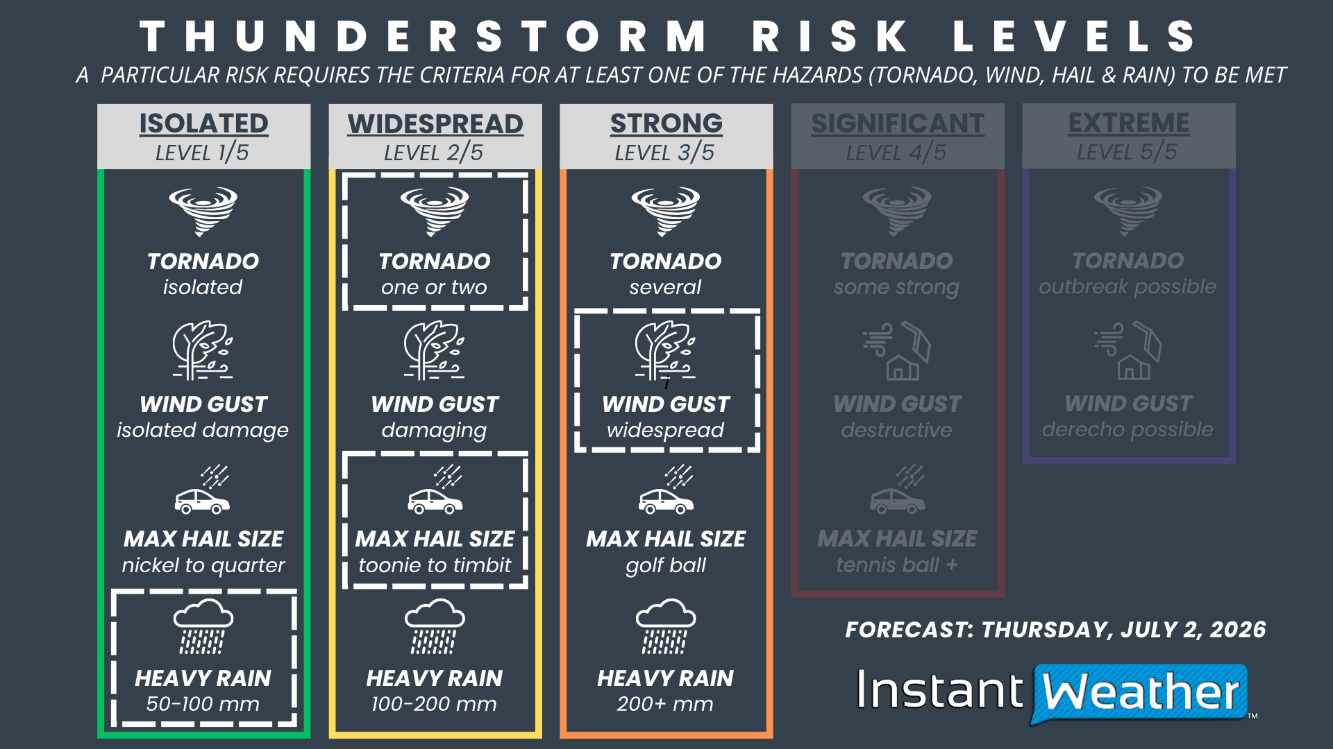
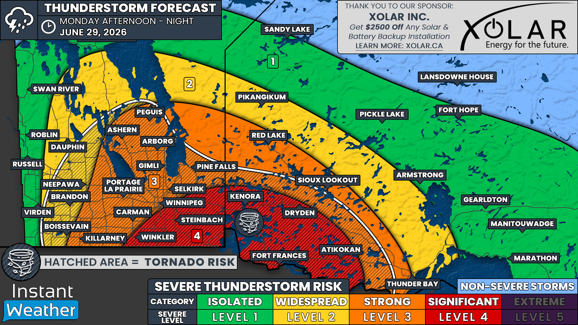
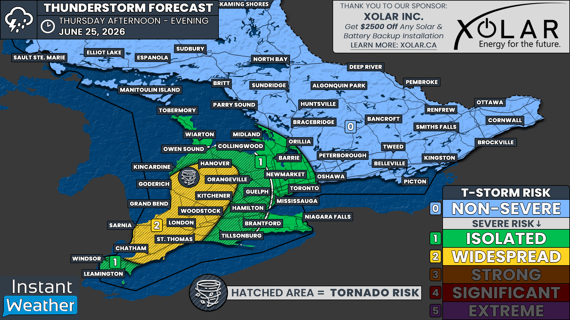
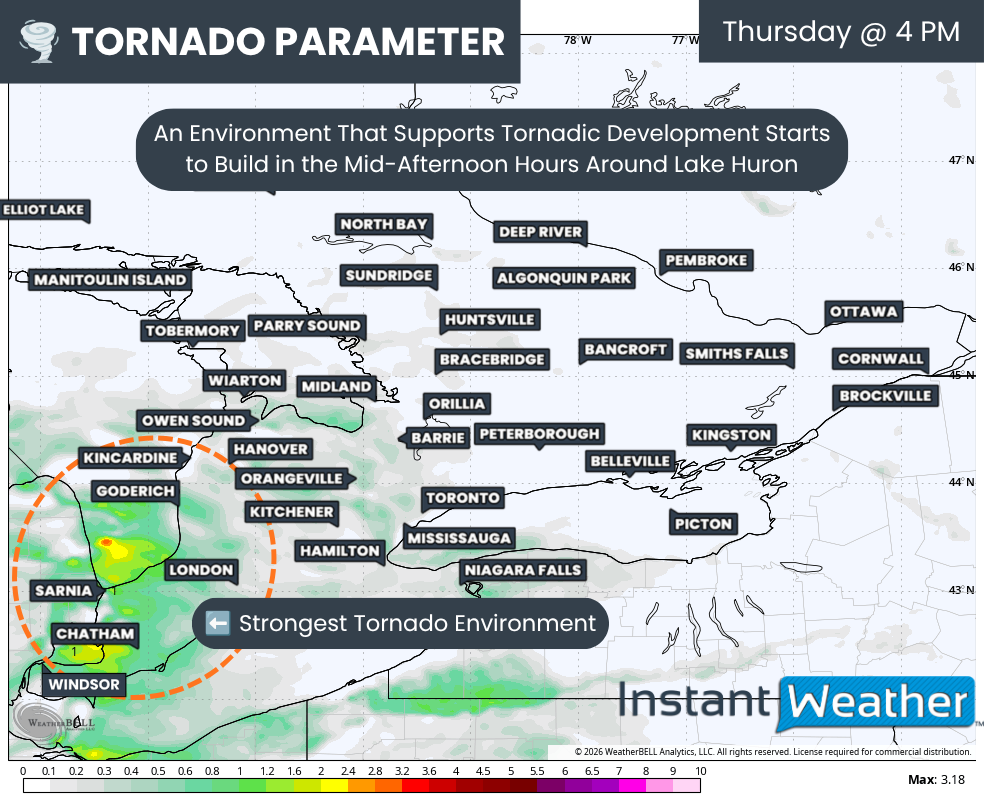
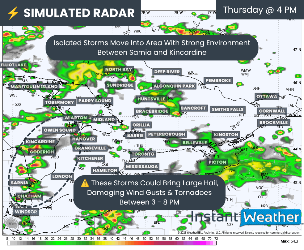
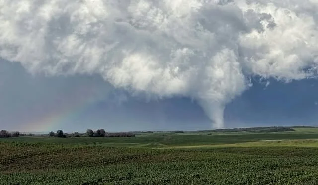
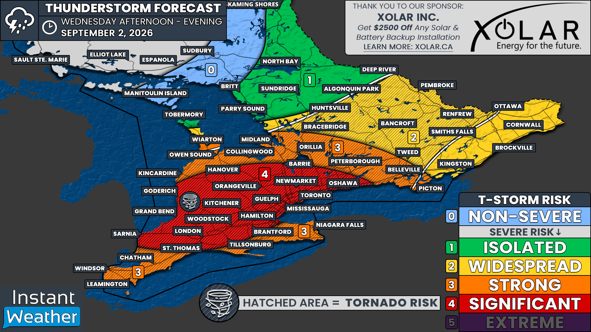
While Wednesday’s risk was mainly focused on damaging wind gusts, Thursday could feature a more defined tornado risk, with one or two tornadoes possible. The focus of this tornado risk appears to be in Southwestern Ontario near the Lake Huron shoreline, along with parts of Eastern Ontario, including the Ottawa Valley.
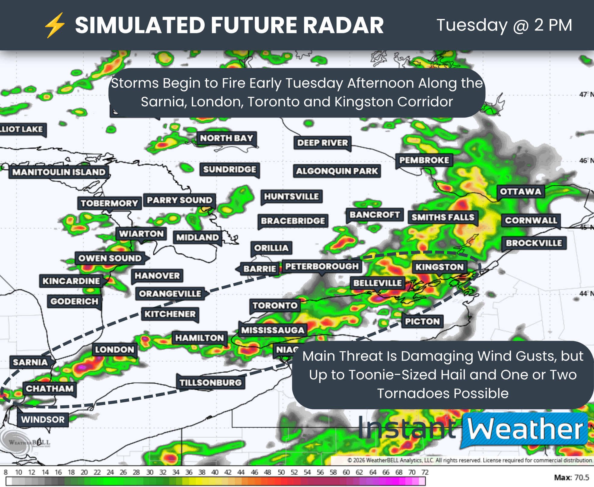
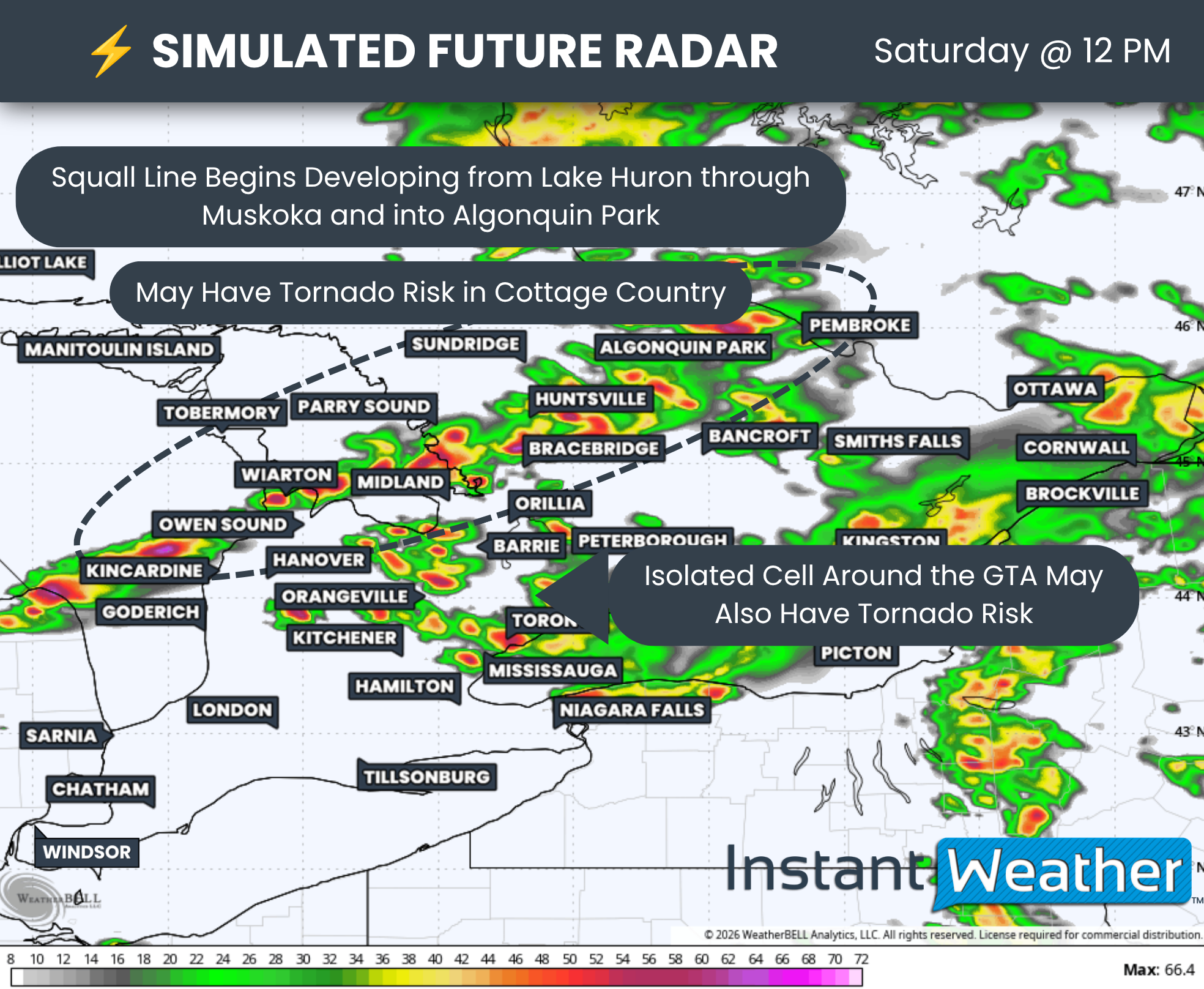
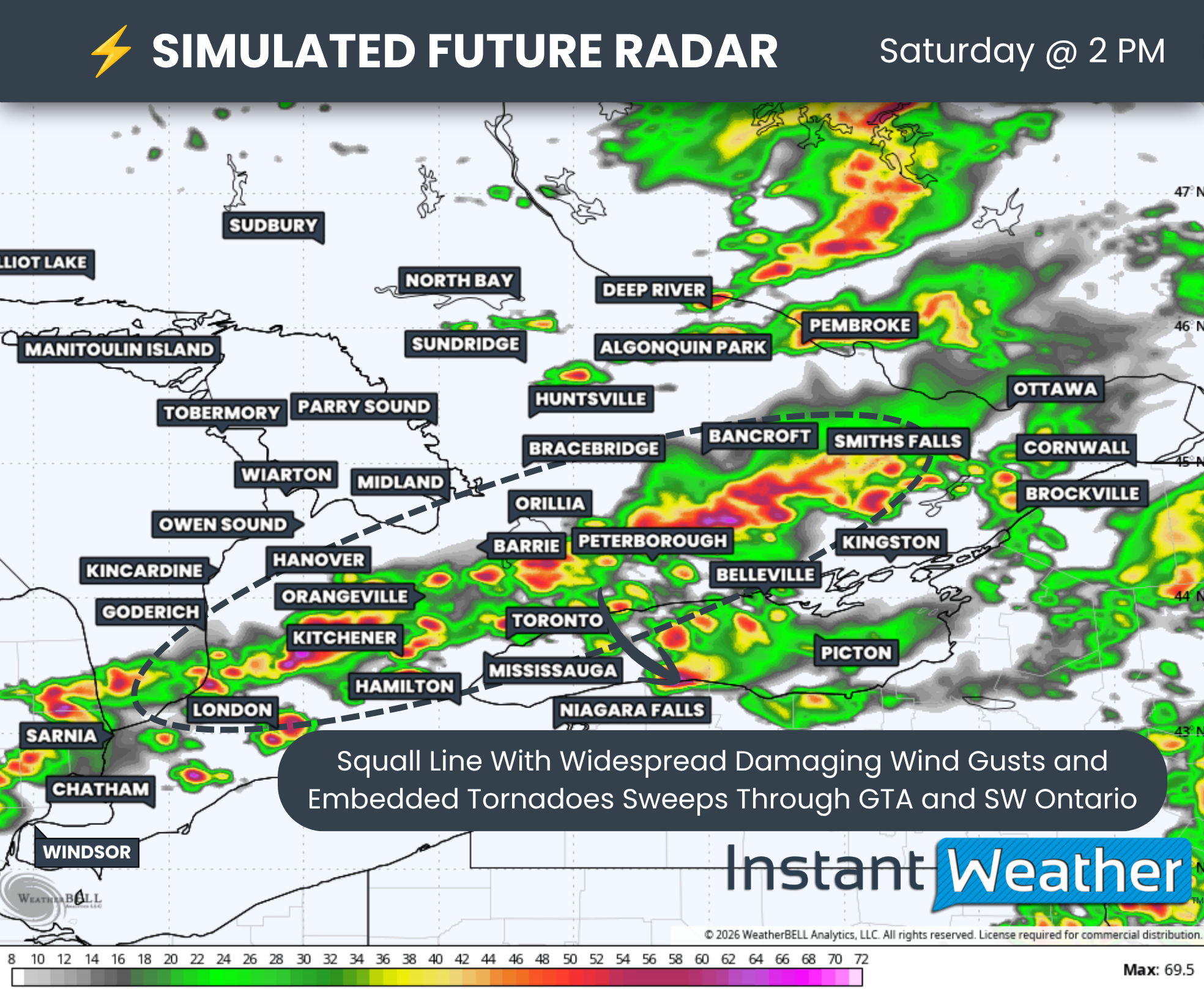
The damaging wind gust threat also remains very present. Similar linear-like storms could sweep through a corridor from Lake Huron into the GTA, and then toward the Lake Simcoe, Peterborough and Kingston areas.
Up to Timbit-sized hail is also possible, especially across Eastern Ontario, along the Lake Huron shoreline and around the London area. In these regions, a more isolated storm mode could support a few supercell thunderstorms.
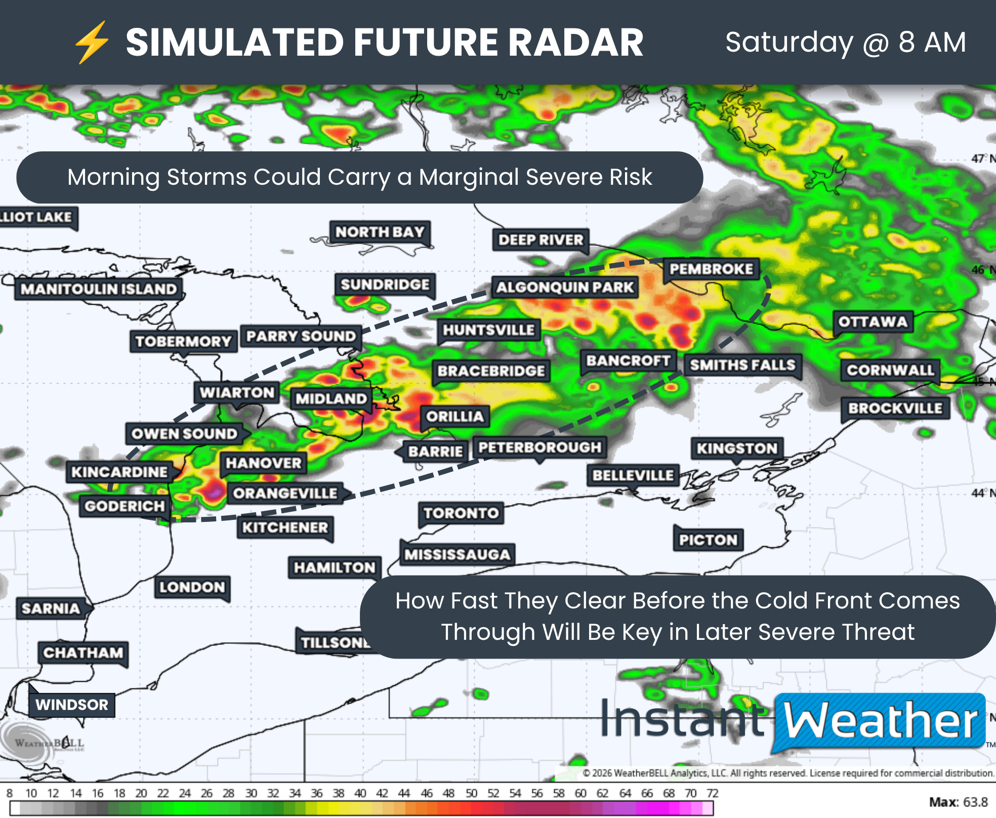
Once again, models are struggling to pinpoint exactly when and where storm development will happen. They tend to perform poorly in these types of dynamic setups, especially when storms are triggered by smaller-scale features such as lake breezes and outflow boundaries from other storms.
What we do know is where the strongest environment is located, along with a rough idea of where models are most likely to develop storms.
That begins during the afternoon, when we could see isolated cells develop from the Lake Simcoe area down toward Kingston. These storms could support a tornado risk, which is why this corridor is also highlighted on our map for tornado potential.
However, confidence is lower in this area. Not every model shows storm development, so this part of the forecast will depend heavily on whether the right triggers are in place.
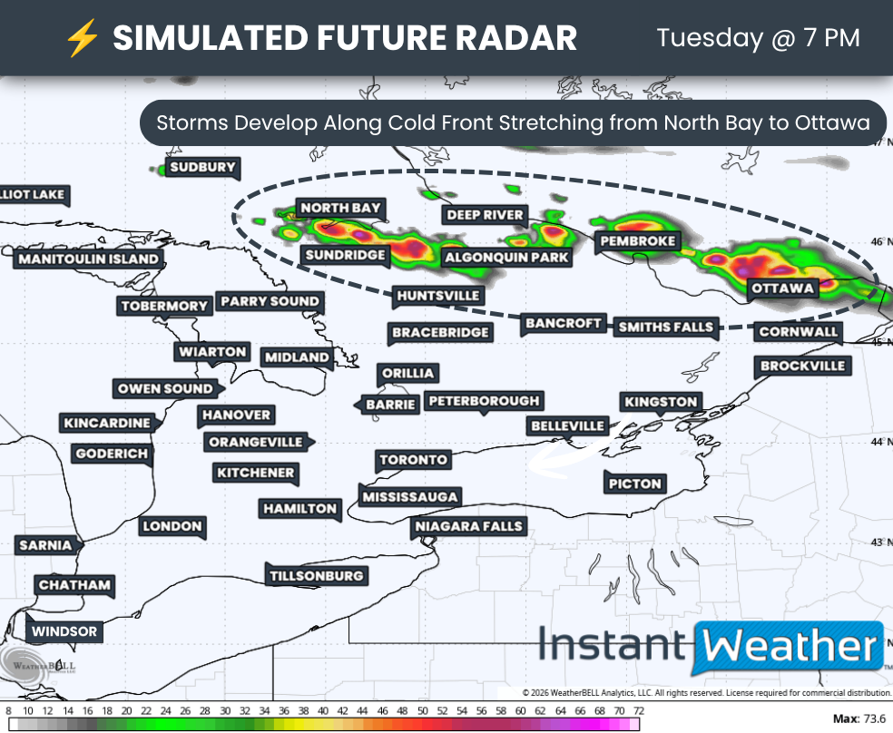
Another zone of possible storm development can be found across the Ottawa Valley and Eastern Ontario during the evening. A strong shear environment could support rotation if storms are able to develop.
Similar to the afternoon Lake Simcoe risk, confidence is lower here because not all models show storm development. The threat will depend on whether storms can actually form and take advantage of the environment.
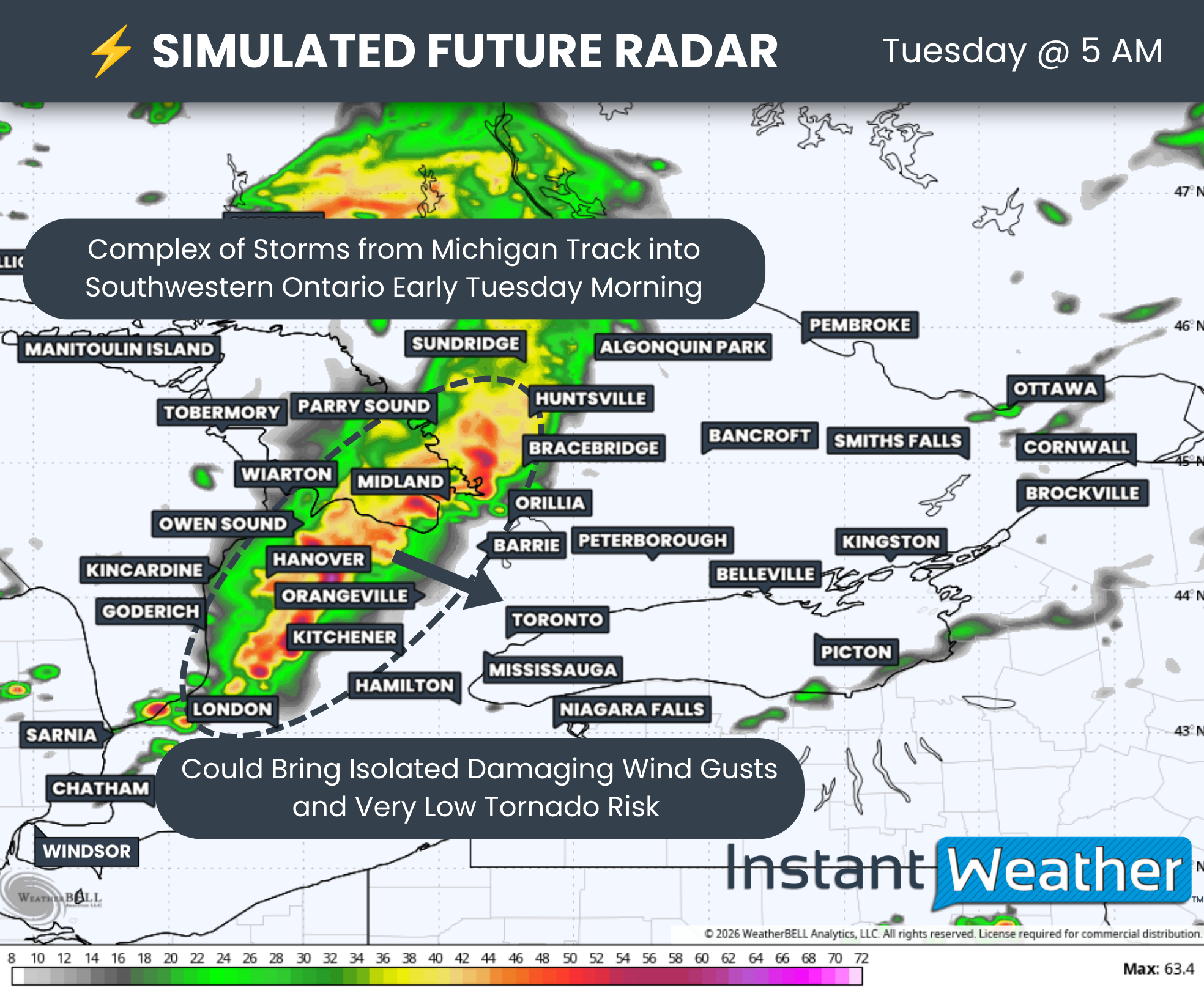
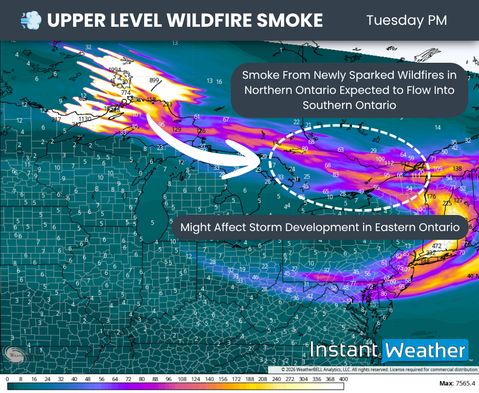
The Lake Huron storms may eventually merge into a larger complex and bring a potential late-night damaging wind gust risk through the GTA and Niagara region.
There is still some question about how long this complex would be able to maintain its strength, especially once we lose daytime heating. However, if it holds together, damaging wind gusts could once again become a concern.